| Item Detail |
| |
| |
MapMaker: |
(none given)
|
|
| |
| |
Subject: |
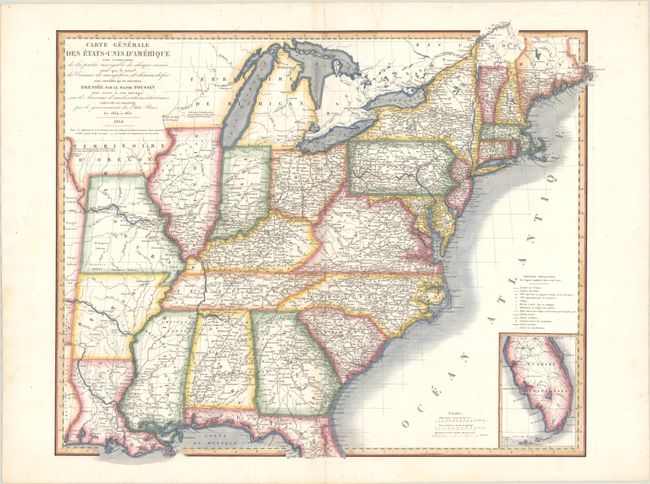
Eastern United States |
|
| |
Period/Size: |
1834 / 18.8" x 23.2" (47.8 x 59.0 cm)
|
|
| |
Color: |
Colored
|
|
| |
Condition: |
(B+) On a bright sheet with some light scattered foxing and a short edge tear at top that just passes the border that has been closed on verso with old paper. A short centerfold separation confined to the bottom blank margin has also been archivally repa (condition help) |
|
| |
Source: |
|
|
| |
References: |
|
|
| |
|
|
| Sales Information |
| |
| |
Price: |
|
|
| |
| |
Offered by: |
Old World Auctions |
|
| |
Catalog: |
Auction No. 185 - Antique Maps, Charts, Atlases & Globes (9550) |
|
| |
Lot/Item #: |
188 |
|
| |
| |
Date: |
11/2021
|
|
| |
| |
|