| Item Detail |
| |
| |
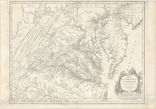
MapMaker: |
Robert de Vaugondy (family)
|
|
| |
| |
Subject: |
Colonial Mid-Atlantic United States |
|
| |
Period/Size: |
1755 / 19.0" x 25.1" (48.3 x 63.8 cm)
|
|
| |
Color: |
Black & White
|
|
| |
Condition: |
(B+) A crisp impression on watermarked paper with light staining at left, a 3" edge tear and short centerfold separation at top that have been closed on verso with archival materials, and some light printer's ink residue. (condition help) |
|
| |
Source: |
Atlas Universel |
|
| |
References: |
|
|
| |
|
|
| Sales Information |
| |
| |
Price: |
|
|
| |
| |
Offered by: |
Old World Auctions |
|
| |
Catalog: |
Auction No. 185 - Antique Maps, Charts, Atlases & Globes (9550) |
|
| |
Lot/Item #: |
204 |
|
| |
| |
Date: |
11/2021
|
|
| |
| |
|