| Item Detail |
| |
| |
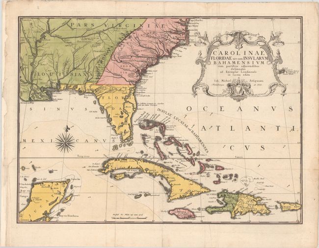
MapMaker: |
Johan Michael Seligmann
|
|
| |
| |
Subject: |
Colonial Southeast United States, Bahamas & Greater Antilles |
|
| |
Period/Size: |
1755 / 16.9" x 23.1" (43.0 x 58.7 cm)
|
|
| |
Color: |
Colored
|
|
| |
Condition: |
(A) A sharp impression, issued folding, now pressed on a sturdy sheet with a lion coat of arms watermark. There is some minor color offsetting in the map and marginal soiling. There are archival repairs to a few short edge tears and chips in the left bl (condition help) |
|
| |
Source: |
Die Natur Hist. Beschreibung von Carolina, Florida |
|
| |
References: |
Cumming (SE) #292; cf. Schwartz & Ehrenberg pp. 151-152. |
|
| |
|
|
| Sales Information |
| |
| |
Price: |
|
|
| |
| |
Offered by: |
Old World Auctions |
|
| |
Catalog: |
Auction No. 185 - Antique Maps, Charts, Atlases & Globes (9550) |
|
| |
Lot/Item #: |
215 |
|
| |
| |
Date: |
11/2021
|
|
| |
| |
|