| Item Detail |
| |
| |
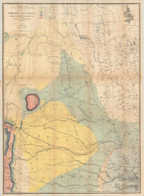
MapMaker: |
Lieut. G. K. Warren
|
|
| |
| |
Subject: |
Central United States |
|
| |
Period/Size: |
1867 / 43.3" x 31.4" (110.0 x 79.8 cm)
|
|
| |
Color: |
Colored
|
|
| |
Condition: |
(B) Issued folding with scattered foxing, light offsetting, and numerous short splits at the fold junctions. A few short tears and a 3.5" fold separation at top have all been closed on verso with archival tape. (condition help) |
|
| |
Source: |
Preliminary Report of Explorations in Nebraska and Dakota... |
|
| |
References: |
|
|
| |
|
|
| Sales Information |
| |
| |
Price: |
|
|
| |
| |
Offered by: |
Old World Auctions |
|
| |
Catalog: |
Auction No. 185 - Antique Maps, Charts, Atlases & Globes (9550) |
|
| |
Lot/Item #: |
229 |
|
| |
| |
Date: |
11/2021
|
|
| |
| |
|