| Item Detail |
| |
| |
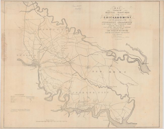
MapMaker: |
E. Sheppard
|
|
| |
| |
Subject: |
Eastern Virginia, Civil War |
|
| |
Period/Size: |
1862 / 16.3" x 20.1" (41.4 x 51.1 cm)
|
|
| |
Color: |
Black & White
|
|
| |
Condition: |
(B+) Issued folding with light toning, some staining at left, a few small spots of foxing, a couple of pencil notations, and some tiny holes at fold intersections. A previous owner's typed paper label is in the top left corner on verso. (condition help) |
|
| |
Source: |
|
|
| |
References: |
Stephenson (Civil War) #639. |
|
| |
|
|
| Sales Information |
| |
| |
Price: |
|
|
| |
| |
Offered by: |
Old World Auctions |
|
| |
Catalog: |
Auction No. 185 - Antique Maps, Charts, Atlases & Globes (9550) |
|
| |
Lot/Item #: |
343 |
|
| |
| |
Date: |
11/2021
|
|
| |
| |
|