Title:
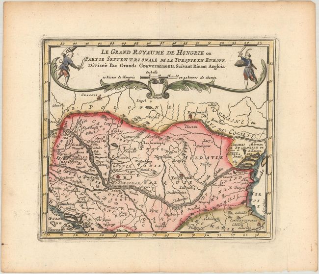
“Le Grand Royaume de Hongrie ou Partie Septentrionale de la Turquie en Europe, Divisee par Grands Gouvernements, Suivant Ricant Anglois”
Map Maker:
Jacques Peeters
Charming small map covering Hungary, Romania and m... (full text available to subscribers)
| Item Detail |
| |
| |
MapMaker: |
Jacques Peeters
|
|
| |
| |
Subject: |
Southeastern Europe, Hungary |
|
| |
Period/Size: |
1692 / 5.3" x 6.1" (13.5 x 15.5 cm)
|
|
| |
Color: |
Colored
|
|
| |
Condition: |
(A) A sharp impression on a bright sheet with marginal toning. (condition help) |
|
| |
Source: |
L'Atlas en Abrege, ou Nouvelle Description du Monde |
|
| |
References: |
|
|
| |
|
|
| Sales Information |
| |
| |
Price: |
|
|
| |
| |
Offered by: |
Old World Auctions |
|
| |
Catalog: |
Auction No. 185 - Antique Maps, Charts, Atlases & Globes (9550) |
|
| |
Lot/Item #: |
565 |
|
| |
| |
Date: |
11/2021
|
|
| |
| |
|
Antique Maps - Valuation and Pricing, Descriptions, Resources |
|
Home |
Information |
Search |
Register |
Contact Us |
Site Map
Americana Exchange, Inc. © 1999 - 2024 Americana Exchange, Inc.. All rights reserved.
OldMaps.com, the OldMaps.com logo and
AMPR are service marks or registered service marks of Americana Exchange, Inc..
|