| Item Detail |
| |
| |
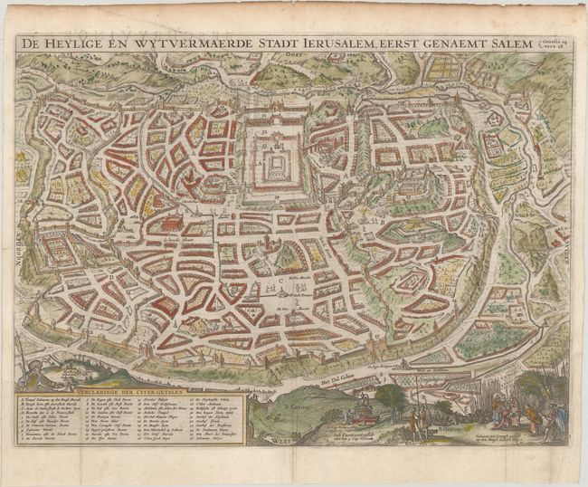
MapMaker: |
Visscher
|
|
| |
| |
Subject: |
Jerusalem, Holy Land |
|
| |
Period/Size: |
1650 / 12.0" x 16.1" (30.5 x 40.9 cm)
|
|
| |
Color: |
Colored
|
|
| |
Condition: |
(A) Issued folding on watermarked paper, now flattened with a short tear at left that has been closed on verso with archival tape and dampstaining along the top edge of the sheet, not affecting the map. (condition help) |
|
| |
Source: |
|
|
| |
References: |
Poortman & Augusteijn #87. |
|
| |
|
|
| Sales Information |
| |
| |
Price: |
|
|
| |
| |
Offered by: |
Old World Auctions |
|
| |
Catalog: |
Auction No. 185 - Antique Maps, Charts, Atlases & Globes (9550) |
|
| |
Lot/Item #: |
636 |
|
| |
| |
Date: |
11/2021
|
|
| |
| |
|