| Item Detail |
| |
| |
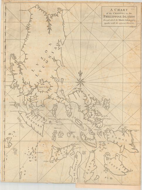
MapMaker: |
George Anson
|
|
| |
| |
Subject: |
Philippines |
|
| |
Period/Size: |
1748 / 27.5" x 21.1" (69.9 x 53.6 cm)
|
|
| |
Color: |
Black & White
|
|
| |
Condition: |
(B) Issued folding with scattered foxing. There is a binding trim at bottom that has been partially replaced with old paper, with an associated tear that extends 1" into map image along with some minor extraneous creasing along the bottom edge. (condition help) |
|
| |
Source: |
A Voyage Round the World… |
|
| |
References: |
Mercator's World (Nov/Dec 1998) p. 47; Shirley (BL Atlases) G.ANS-1a #8. |
|
| |
|
|
| Sales Information |
| |
| |
Price: |
|
|
| |
| |
Offered by: |
Old World Auctions |
|
| |
Catalog: |
Auction No. 185 - Antique Maps, Charts, Atlases & Globes (9550) |
|
| |
Lot/Item #: |
672 |
|
| |
| |
Date: |
11/2021
|
|
| |
| |
|