| Item Detail |
| |
| |
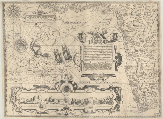
MapMaker: |
John Wolfe
|
|
| |
| |
Subject: |
Western Africa |
|
| |
Period/Size: |
1598 / 15.1" x 20.3" (38.4 x 51.6 cm)
|
|
| |
Color: |
Black & White
|
|
| |
Condition: |
(A) Issued folded, now flattened on a sheet with a bunch of grapes watermark with professional repairs at fold intersections. The side margins have been extended (leaf casting method) to accommodate framing and a binding tear at left has been expertly re (condition help) |
|
| |
Source: |
His Discours of Voyages to the East and West Indies |
|
| |
References: |
Norwich #239a; Tooley (MCC-29) #167; Tooley et al [Landmarks] pp. 168-69. |
|
| |
|
|
| Sales Information |
| |
| |
Price: |
|
|
| |
| |
Offered by: |
Old World Auctions |
|
| |
Catalog: |
Auction No. 185 - Antique Maps, Charts, Atlases & Globes (9550) |
|
| |
Lot/Item #: |
713 |
|
| |
| |
Date: |
11/2021
|
|
| |
| |
|