| Item Detail |
| |
| |
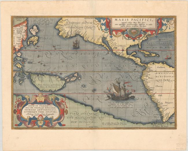
MapMaker: |
Abraham Ortelius
|
|
| |
| |
Subject: |
Pacific Ocean, Western Hemisphere |
|
| |
Period/Size: |
1589 / 13.5" x 19.5" (34.3 x 49.6 cm)
|
|
| |
Color: |
Colored
|
|
| |
Condition: |
(A) A sharp impression with full contemporary color on a bright sheet with the crossed arrows watermark commonly found on Ortelius maps, some minor abrasions along the centerfold, and minor marginal soiling. (condition help) |
|
| |
Source: |
Theatrum Orbis Terrarum |
|
| |
References: |
Burden #74; Cohen, p. 31-33; Goss (NA) #14; Suarez (Pacific) p. 46, 65; Van den Broecke #12; Wheat (TMW) #24. |
|
| |
|
|
| Sales Information |
| |
| |
Price: |
|
|
| |
| |
Offered by: |
Old World Auctions |
|
| |
Catalog: |
Auction No. 185 - Antique Maps, Charts, Atlases & Globes (9550) |
|
| |
Lot/Item #: |
721 |
|
| |
| |
Date: |
11/2021
|
|
| |
| |
|