| Item Detail |
| |
| |
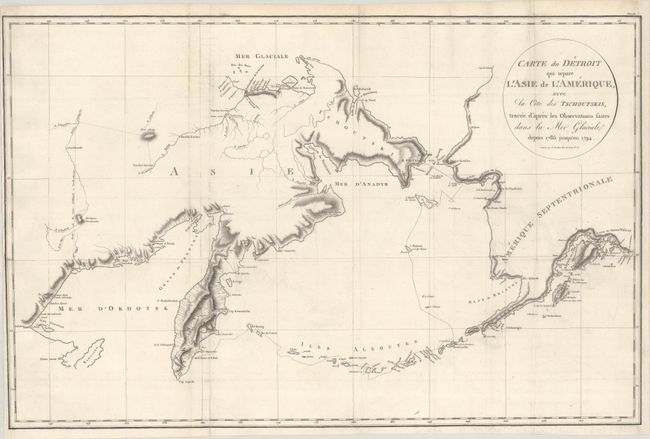
MapMaker: |
Martin Sauer
|
|
| |
| |
Subject: |
North Pacific Ocean |
|
| |
Period/Size: |
1802 / 15.6" x 24.1" (39.7 x 61.3 cm)
|
|
| |
Color: |
Black & White
|
|
| |
Condition: |
(B+) Issued folding, now flat, on watermarked paper with some minor offsetting. The bottom left margin and the entire right margin have been professionally replaced, with the neatline in facsimile. There are old library stamps on verso marked "free." (condition help) |
|
| |
Source: |
Voyage dans le Nord de la Russie Asiatique... |
|
| |
References: |
|
|
| |
|
|
| Sales Information |
| |
| |
Price: |
|
|
| |
| |
Offered by: |
Old World Auctions |
|
| |
Catalog: |
Auction No. 185 - Antique Maps, Charts, Atlases & Globes (9550) |
|
| |
Lot/Item #: |
727 |
|
| |
| |
Date: |
11/2021
|
|
| |
| |
|