| Item Detail |
| |
| |
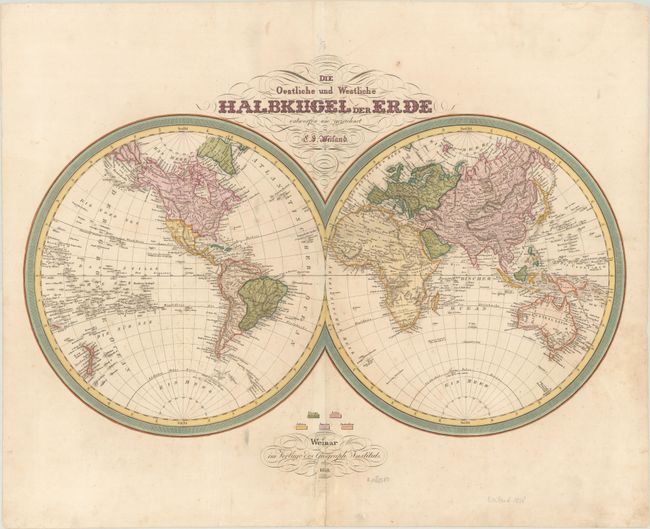
MapMaker: |
Carl Ferdinand Weiland
|
|
| |
| |
Subject: |
World |
|
| |
Period/Size: |
1838 / 17.1" x 24.4" (43.5 x 62.0 cm)
|
|
| |
Color: |
Colored
|
|
| |
Condition: |
(B+) There is light scattered foxing and soiling and a tiny hole in Scandinavia only visible when held to light. There is a centerfold separation and a few associated tears in the publisher's imprint at bottom, all of which have been archivally repaired. (condition help) |
|
| |
Source: |
|
|
| |
References: |
|
|
| |
|
|
| Sales Information |
| |
| |
Price: |
|
|
| |
| |
Offered by: |
Old World Auctions |
|
| |
Catalog: |
Auction No. 186 - Antique Maps, Charts, Atlases & Globes (9551) |
|
| |
Lot/Item #: |
31 |
|
| |
| |
Date: |
02/2022
|
|
| |
| |
|