| Item Detail |
| |
| |
MapMaker: |
(none given)
|
|
| |
| |
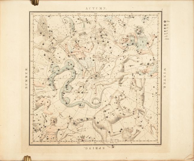
Subject: |
Celestial |
|
| |
Period/Size: |
1842 / 13.0" x 15.9" (33.1 x 40.4 cm)
|
|
| |
Color: |
Colored
|
|
| |
Condition: |
(B+) The colored charts have light toning and occasional foxing. The black charts have light to heavy foxing, which is only visible in the blank margins and on verso. The tissue guards are lightly toned, creased and chipped. The front free-endpaper has (condition help) |
|
| |
Source: |
|
|
| |
References: |
|
|
| |
|
|
| Sales Information |
| |
| |
Price: |
|
|
| |
| |
Offered by: |
Old World Auctions |
|
| |
Catalog: |
Auction No. 186 - Antique Maps, Charts, Atlases & Globes (9551) |
|
| |
Lot/Item #: |
58 |
|
| |
| |
Date: |
02/2022
|
|
| |
| |
|