| Item Detail |
| |
| |
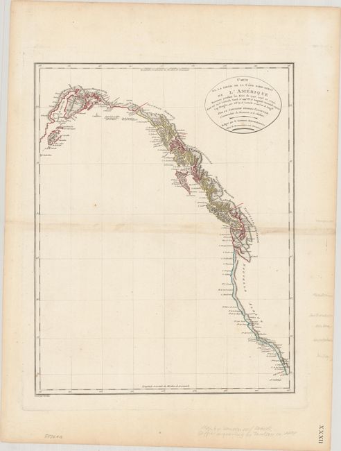
MapMaker: |
Vancouver
|
|
| |
| |
Subject: |
Western North America |
|
| |
Period/Size: |
1799 / 17.1" x 13.4" (43.5 x 34.1 cm)
|
|
| |
Color: |
Colored
|
|
| |
Condition: |
(B+) On watermarked paper with minor staining along the centerfold and a few faint spots. There is some paper weakness along the bottom plate mark, away from the image. (condition help) |
|
| |
Source: |
|
|
| |
References: |
cf. Falk #1799-3. |
|
| |
|
|
| Sales Information |
| |
| |
Price: |
|
|
| |
| |
Offered by: |
Old World Auctions |
|
| |
Catalog: |
Auction No. 186 - Antique Maps, Charts, Atlases & Globes (9551) |
|
| |
Lot/Item #: |
120 |
|
| |
| |
Date: |
02/2022
|
|
| |
| |
|