| Item Detail |
| |
| |
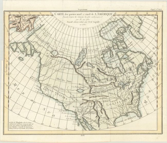
MapMaker: |
Robert de Vaugondy (family)
|
|
| |
| |
Subject: |
Colonial United States & Canada |
|
| |
Period/Size: |
1772 / 11.7" x 15.1" (29.8 x 38.4 cm)
|
|
| |
Color: |
Colored
|
|
| |
Condition: |
(A) A crisp impression issued folding, now flat, on watermarked paper. There is a binding trim at left with an associated short tear that just enters the map border and has been repaired on verso with archival materials. (condition help) |
|
| |
Source: |
Diderot's Encyclopedia (Supplement) |
|
| |
References: |
Pedley #453; Portinaro & Knirsch #158. |
|
| |
|
|
| Sales Information |
| |
| |
Price: |
|
|
| |
| |
Offered by: |
Old World Auctions |
|
| |
Catalog: |
Auction No. 186 - Antique Maps, Charts, Atlases & Globes (9551) |
|
| |
Lot/Item #: |
127 |
|
| |
| |
Date: |
02/2022
|
|
| |
| |
|