| Item Detail |
| |
| |
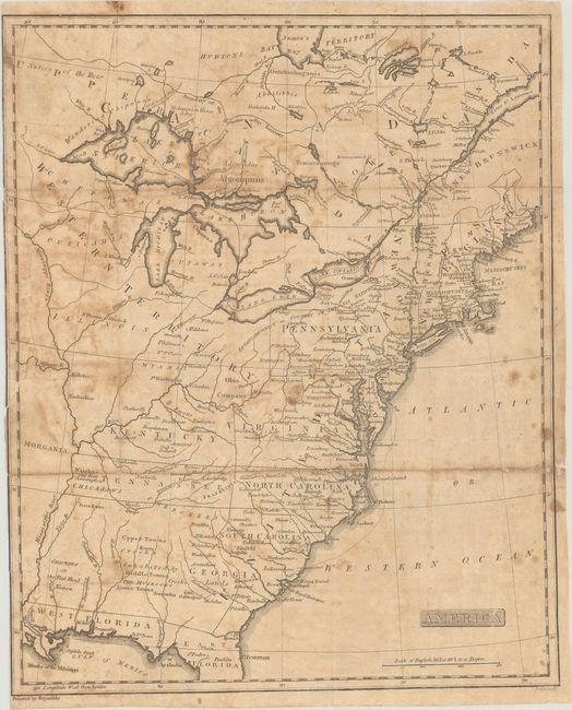
MapMaker: |
Francois Alexander Rochefoucald Liancourt
|
|
| |
| |
Subject: |
Eastern United States & Canada, Franklin |
|
| |
Period/Size: |
1805 / 15.8" x 12.9" (40.2 x 32.8 cm)
|
|
| |
Color: |
Black & White
|
|
| |
Condition: |
(C+) Issued folding with moderate foxing and toning, and a chip along the left edge measuring 0.75" x 5.0" that has been archivally reattached on verso. A number of small fold separations have been closed on verso with archival tape with some minor loss (condition help) |
|
| |
Source: |
The History of the Discovery and Settlement, to the Present Time... |
|
| |
References: |
Dotson & Baker (OWA) #20. |
|
| |
|
|
| Sales Information |
| |
| |
Price: |
|
|
| |
| |
Offered by: |
Old World Auctions |
|
| |
Catalog: |
Auction No. 186 - Antique Maps, Charts, Atlases & Globes (9551) |
|
| |
Lot/Item #: |
140 |
|
| |
| |
Date: |
02/2022
|
|
| |
| |
|