| Item Detail |
| |
| |
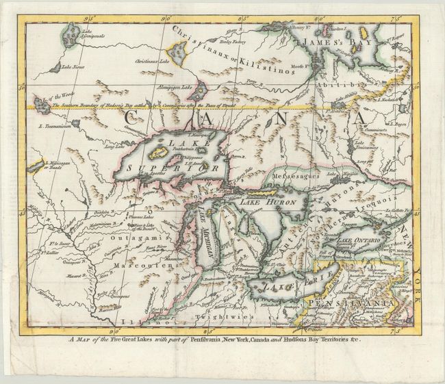
MapMaker: |
(none given)
|
|
| |
| |
Subject: |
Colonial Great Lakes |
|
| |
Period/Size: |
1755 / 8.3" x 10.3" (21.1 x 26.2 cm)
|
|
| |
Color: |
Colored
|
|
| |
Condition: |
(B+) A fine impression issued folding, now flat, on watermarked paper with a binding trim in the bottom left blank margin that has been replaced with old paper. Several small separations along the bottom fold and a short binding tear have been repaired w (condition help) |
|
| |
Source: |
London Magazine |
|
| |
References: |
Jolly #LOND-97. |
|
| |
|
|
| Sales Information |
| |
| |
Price: |
|
|
| |
| |
Offered by: |
Old World Auctions |
|
| |
Catalog: |
Auction No. 186 - Antique Maps, Charts, Atlases & Globes (9551) |
|
| |
Lot/Item #: |
149 |
|
| |
| |
Date: |
02/2022
|
|
| |
| |
|