| Item Detail |
| |
| |
MapMaker: |
(none given)
|
|
| |
| |
Subject: |
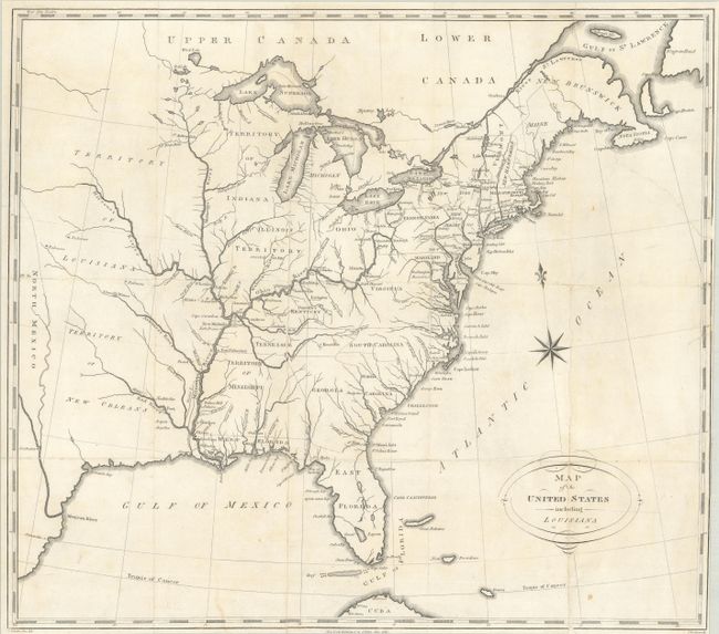
Eastern United States |
|
| |
Period/Size: |
1810 / 16.4" x 18.6" (41.7 x 47.3 cm)
|
|
| |
Color: |
Black & White
|
|
| |
Condition: |
(B) Issued folding, now flat and backed with linen, with numerous fold separations and a 4" edge tear at right that have been professionally conserved. Trimmed close to the right border and light soiling. (condition help) |
|
| |
Source: |
Travels on an Inland Voyage... |
|
| |
References: |
Howes #S-202; Sabin #78003. |
|
| |
|
|
| Sales Information |
| |
| |
Price: |
|
|
| |
| |
Offered by: |
Old World Auctions |
|
| |
Catalog: |
Auction No. 186 - Antique Maps, Charts, Atlases & Globes (9551) |
|
| |
Lot/Item #: |
178 |
|
| |
| |
Date: |
02/2022
|
|
| |
| |
|