| Item Detail |
| |
| |
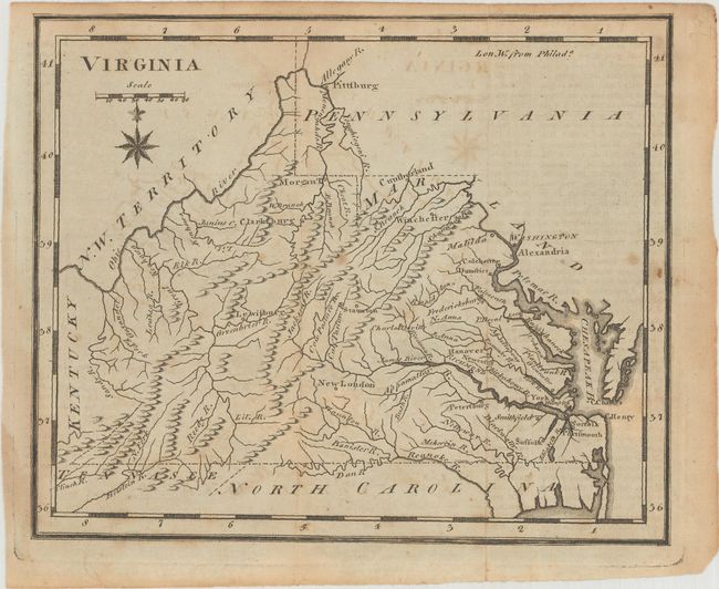
MapMaker: |
Joseph Scott
|
|
| |
| |
Subject: |
Virginia |
|
| |
Period/Size: |
1795 / 6.0" x 7.3" (15.3 x 18.6 cm)
|
|
| |
Color: |
Black & White
|
|
| |
Condition: |
(B+) Issued folding with light toning, minor offsetting, and a few small spots at far right. There is a faint horizontal crease near the middle of the map image. (condition help) |
|
| |
Source: |
United States Gazetteer |
|
| |
References: |
McCorkle (18th C. Geography Books) #379 [19]; Wheat & Brun #569. |
|
| |
|
|
| Sales Information |
| |
| |
Price: |
|
|
| |
| |
Offered by: |
Old World Auctions |
|
| |
Catalog: |
Auction No. 186 - Antique Maps, Charts, Atlases & Globes (9551) |
|
| |
Lot/Item #: |
328 |
|
| |
| |
Date: |
02/2022
|
|
| |
| |
|