| Item Detail |
| |
| |
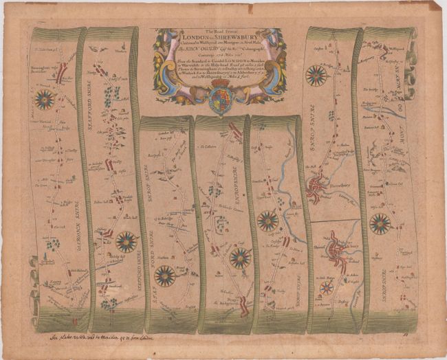
MapMaker: |
John Ogilby
|
|
| |
| |
Subject: |
Western England & Wales |
|
| |
Period/Size: |
1675 / 13.1" x 16.5" (33.3 x 42.0 cm)
|
|
| |
Color: |
Colored
|
|
| |
Condition: |
(B) Toned and foxed with a faint dampstain in the bottom blank margin and some old tape stains along the top edge of the sheet. There is an old manuscript notation below the image at left. (condition help) |
|
| |
Source: |
Britannia |
|
| |
References: |
Shirley (BL Atlases) T.OGIL-4a #50. |
|
| |
|
|
| Sales Information |
| |
| |
Price: |
|
|
| |
| |
Offered by: |
Old World Auctions |
|
| |
Catalog: |
Auction No. 186 - Antique Maps, Charts, Atlases & Globes (9551) |
|
| |
Lot/Item #: |
425 |
|
| |
| |
Date: |
02/2022
|
|
| |
| |
|