| Item Detail |
| |
| |
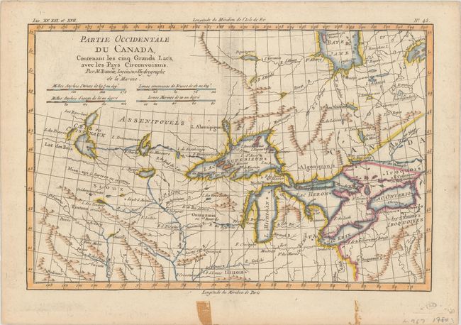
MapMaker: |
Rigobert Bonne
|
|
| |
| |
Subject: |
Colonial Central United States & Canada, Great Lakes |
|
| |
Period/Size: |
1780 / 8.3" x 12.5" (21.1 x 31.8 cm)
|
|
| |
Color: |
Colored
|
|
| |
Condition: |
(B+) There is very light offsetting, minor soiling, old tape stains in the bottom margin, and small remnants of hinge tape on verso. (condition help) |
|
| |
Source: |
Atlas de Toutes les Parties Connues du Globe Terrestre... |
|
| |
References: |
Kershaw #974; Sellers and Van Ee #173. |
|
| |
|
|
| Sales Information |
| |
| |
Price: |
|
|
| |
| |
Offered by: |
Old World Auctions |
|
| |
Catalog: |
Auction No. 187 - Antique Maps, Charts, Atlases & Globes (9557) |
|
| |
Lot/Item #: |
136 |
|
| |
| |
Date: |
02/2022
|
|
| |
| |
|