| Item Detail |
| |
| |
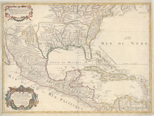
MapMaker: |
Guillaume Delisle
|
|
| |
| |
Subject: |
Colonial Eastern North America & Caribbean |
|
| |
Period/Size: |
1703 / 18.7" x 25.4" (47.5 x 64.6 cm)
|
|
| |
Color: |
Colored
|
|
| |
Condition: |
(B+) On a watermarked sheet with light soiling. There are centerfold separations at top and bottom and some edge tears that have all been repaired with archival materials on verso. (condition help) |
|
| |
Source: |
|
|
| |
References: |
Brown (IMCOS #165) pp. 37-39; Cumming (SE) #137; Lemmon plt #16; Tooley (Amer) #50, p. 22; Wheat (TMW) pp. 58-61; Schwartz & Ehrenberg, pl. 82. |
|
| |
|
|
| Sales Information |
| |
| |
Price: |
|
|
| |
| |
Offered by: |
Old World Auctions |
|
| |
Catalog: |
Auction No. 187 - Antique Maps, Charts, Atlases & Globes (9557) |
|
| |
Lot/Item #: |
109 |
|
| |
| |
Date: |
02/2022
|
|
| |
| |
|