| Item Detail |
| |
| |
MapMaker: |
anonymous
|
|
| |
| |
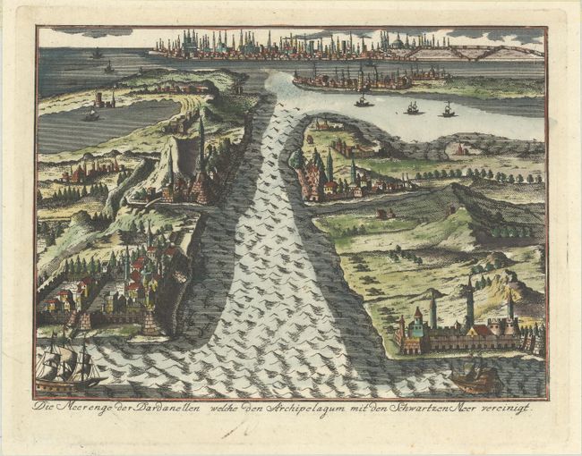
Subject: |
Dardanelles Strait, Turkey |
|
| |
Period/Size: |
1771 / 6.4" x 8.8" (16.3 x 22.4 cm)
|
|
| |
Color: |
Colored
|
|
| |
Condition: |
(B+) A dark impression on a bright sheet with a tear that extends through the ship at bottom left that has been archivally repaired with old paper on verso. There is a bit of sticky residue along the top edge of the sheet on verso. (condition help) |
|
| |
Source: |
Geschichte des Gegenwartigen Kriegs Zwischen Russland, Polen und der Ottomannisc |
|
| |
References: |
|
|
| |
|
|
| Sales Information |
| |
| |
Price: |
|
|
| |
| |
Offered by: |
Old World Auctions |
|
| |
Catalog: |
Auction No. 187 - Antique Maps, Charts, Atlases & Globes (9557) |
|
| |
Lot/Item #: |
572 |
|
| |
| |
Date: |
02/2022
|
|
| |
| |
|