| Item Detail |
| |
| |
MapMaker: |
U.S. Gov.
|
|
| |
| |
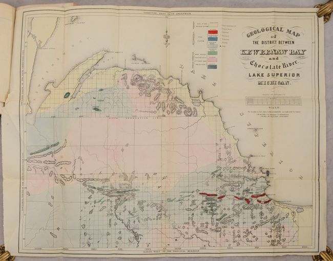
Subject: |
Lake Superior, Michigan |
|
| |
Period/Size: |
1849 / 9.2" x 5.9" (23.4 x 15.0 cm)
|
|
| |
Color: |
Colored
|
|
| |
Condition: |
(A) The maps and plates are clean and bright and in much nicer condition than usual, with occasional minor foxing, offsetting, misfolds, or short binding tears. The text has light foxing and soiling. The covers have bumped corners, and the covers and sp (condition help) |
|
| |
Source: |
Sen. Doc. 1, 31st Congress, 1st Session |
|
| |
References: |
Karpinski (MI) #758b, 764, 766 & 767; Marcou & Marcou #365, 366 & 369. |
|
| |
|
|
| Sales Information |
| |
| |
Price: |
|
|
| |
| |
Offered by: |
Old World Auctions |
|
| |
Catalog: |
Auction No. 187 - Antique Maps, Charts, Atlases & Globes (9557) |
|
| |
Lot/Item #: |
252 |
|
| |
| |
Date: |
02/2022
|
|
| |
| |
|