| Item Detail |
| |
| |
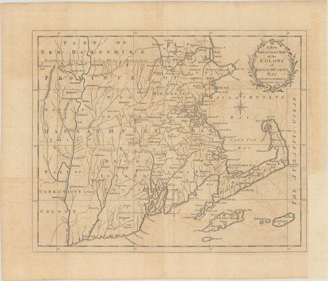
MapMaker: |
anonymous
|
|
| |
| |
Subject: |
Colonial New England United States |
|
| |
Period/Size: |
1780 / 10.3" x 12.7" (26.2 x 32.3 cm)
|
|
| |
Color: |
Black & White
|
|
| |
Condition: |
(B+) Issued folding on watermarked paper with light offsetting and a binding trim at lower right. (condition help) |
|
| |
Source: |
Universal Magazine |
|
| |
References: |
Jolly #UNIV-190; McCorkle #780-12; Sellers & Van Ee #881. |
|
| |
|
|
| Sales Information |
| |
| |
Price: |
|
|
| |
| |
Offered by: |
Old World Auctions |
|
| |
Catalog: |
Auction No. 187 - Antique Maps, Charts, Atlases & Globes (9557) |
|
| |
Lot/Item #: |
173 |
|
| |
| |
Date: |
02/2022
|
|
| |
| |
|