Title:
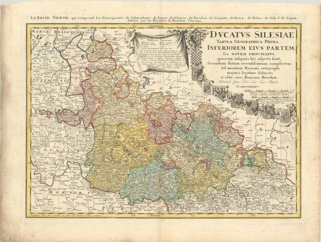
“Ducatus Silesiae Tabula Geographica Prima, Inferiorem eius Partem, seu Novem Principatus...”
Map Maker:
Homann Heirs
This is a decorative and detailed map of Lower Sil... (full text available to subscribers)
| Item Detail |
| |
| |
MapMaker: |
Homann Heirs
|
|
| |
| |
Subject: |
Southern Poland |
|
| |
Period/Size: |
1745 / 15.8" x 22.2" (40.2 x 56.4 cm)
|
|
| |
Color: |
Colored
|
|
| |
Condition: |
(B+) There is a hint of toning along the centerfold and some light foxing and soiling confined to the blank margins. (condition help) |
|
| |
Source: |
|
|
| |
References: |
|
|
| |
|
|
| Sales Information |
| |
| |
Price: |
|
|
| |
| |
Offered by: |
Old World Auctions |
|
| |
Catalog: |
Auction No. 187 - Antique Maps, Charts, Atlases & Globes (9557) |
|
| |
Lot/Item #: |
483 |
|
| |
| |
Date: |
02/2022
|
|
| |
| |
|
Antique Maps - Valuation and Pricing, Descriptions, Resources |
|
Home |
Information |
Search |
Register |
Contact Us |
Site Map
Americana Exchange, Inc. © 1999 - 2024 Americana Exchange, Inc.. All rights reserved.
OldMaps.com, the OldMaps.com logo and
AMPR are service marks or registered service marks of Americana Exchange, Inc..
|