| Item Detail |
| |
| |
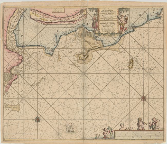
MapMaker: |
Keulen/Vooght
|
|
| |
| |
Subject: |
Western France |
|
| |
Period/Size: |
1728 / 19.4" x 23.1" (49.3 x 58.7 cm)
|
|
| |
Color: |
Colored
|
|
| |
Condition: |
(B+) There are short centerfold separations at top and bottom and several minor edge tears that have all been closed on verso with archival materials. Several tiny wormholes along the centerfold are only visible when held to light. (condition help) |
|
| |
Source: |
|
|
| |
References: |
Shirley (BL Atlases) M.KEU-3b #62. |
|
| |
|
|
| Sales Information |
| |
| |
Price: |
|
|
| |
| |
Offered by: |
Old World Auctions |
|
| |
Catalog: |
Auction No. 187 - Antique Maps, Charts, Atlases & Globes (9557) |
|
| |
Lot/Item #: |
442 |
|
| |
| |
Date: |
02/2022
|
|
| |
| |
|