| Item Detail |
| |
| |
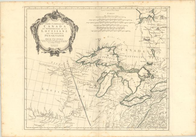
MapMaker: |
D'Anville/Santini
|
|
| |
| |
Subject: |
Colonial Central United States & Canada, Great Lakes |
|
| |
Period/Size: |
1775 / 19.0" x 22.3" (48.3 x 56.7 cm)
|
|
| |
Color: |
Colored
|
|
| |
Condition: |
(B+) Issued on "R" watermarked paper with minor toning and light scattered foxing mostly in the blank margins. A small dampstain is confined to the bottom blank margin. (condition help) |
|
| |
Source: |
Atlas Universel |
|
| |
References: |
Kershaw #977; Phillips (A) #647-46; Tooley (Amer) p. 317. |
|
| |
|
|
| Sales Information |
| |
| |
Price: |
|
|
| |
| |
Offered by: |
Old World Auctions |
|
| |
Catalog: |
Auction No. 187 - Antique Maps, Charts, Atlases & Globes (9557) |
|
| |
Lot/Item #: |
135 |
|
| |
| |
Date: |
02/2022
|
|
| |
| |
|