| Item Detail |
| |
| |
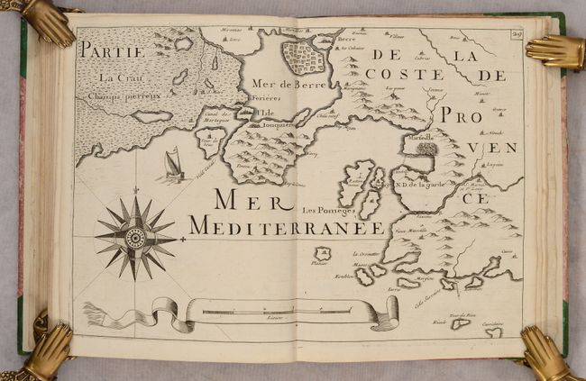
MapMaker: |
Nicholas de Fer
|
|
| |
| |
Subject: |
France, Atlases |
|
| |
Period/Size: |
1690 / 9.8" x 7.6" (24.9 x 19.3 cm)
|
|
| |
Color: |
Black & White
|
|
| |
Condition: |
(B+) The maps are in very good condition with nice impressions, light soiling, occasional offsetting, and a tiny worm hole in the top corners of the maps. A few maps have a bit of contemporary coloring. The text is lightly toned with a bit of soiling. (condition help) |
|
| |
Source: |
|
|
| |
References: |
Pastoureau, FER VIII A. |
|
| |
|
|
| Sales Information |
| |
| |
Price: |
|
|
| |
| |
Offered by: |
Old World Auctions |
|
| |
Catalog: |
Auction No. 187 - Antique Maps, Charts, Atlases & Globes (9557) |
|
| |
Lot/Item #: |
437 |
|
| |
| |
Date: |
02/2022
|
|
| |
| |
|