| Item Detail |
| |
| |
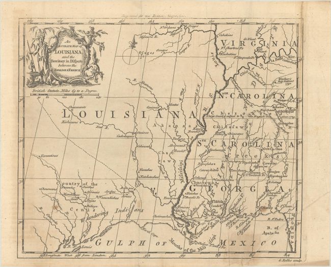
MapMaker: |
George Rollos
|
|
| |
| |
Subject: |
Colonial Southern & Central United States |
|
| |
Period/Size: |
1760 / 7.3" x 8.5" (18.6 x 21.6 cm)
|
|
| |
Color: |
Black & White
|
|
| |
Condition: |
(B) Issued folding with light toning, some extraneous creasing at right, and a few spots of foxing. An old tape repair at bottom right has been removed and replaced with archival tape with a small stain visible on recto. (condition help) |
|
| |
Source: |
British Magazine |
|
| |
References: |
Jolly #BRITB-2. |
|
| |
|
|
| Sales Information |
| |
| |
Price: |
|
|
| |
| |
Offered by: |
Old World Auctions |
|
| |
Catalog: |
Auction No. 187 - Antique Maps, Charts, Atlases & Globes (9557) |
|
| |
Lot/Item #: |
194 |
|
| |
| |
Date: |
02/2022
|
|
| |
| |
|