| Item Detail |
| |
| |
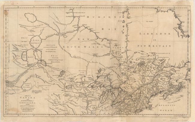
MapMaker: |
Thomas Jefferys
|
|
| |
| |
Subject: |
Colonial Northern United States & Canada, Great Lakes |
|
| |
Period/Size: |
1761 / 12.4" x 21.1" (31.5 x 53.6 cm)
|
|
| |
Color: |
Black & White
|
|
| |
Condition: |
(B) A nice impression issued folding, now flat, with light toning and soiling, and a few small stains. There are professional repairs to several fold separations, tears, and a small chip at left with a minor amount of neatline replaced in facsimile. The (condition help) |
|
| |
Source: |
Natural and Civil History of the French Dominions in North America |
|
| |
References: |
Karpinski (MI) #LXXVI; Tooley (Amer) p. 317. |
|
| |
|
|
| Sales Information |
| |
| |
Price: |
|
|
| |
| |
Offered by: |
Old World Auctions |
|
| |
Catalog: |
Auction No. 187 - Antique Maps, Charts, Atlases & Globes (9557) |
|
| |
Lot/Item #: |
133 |
|
| |
| |
Date: |
02/2022
|
|
| |
| |
|