| Item Detail |
| |
| |
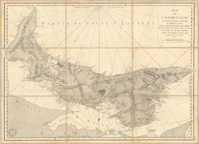
MapMaker: |
Sartine
|
|
| |
| |
Subject: |
Prince Edward Island, Canada |
|
| |
Period/Size: |
1778 / 17.0" x 23.8" (43.2 x 60.5 cm)
|
|
| |
Color: |
Black & White
|
|
| |
Condition: |
(B+) Dissected and backed with linen. There is some light foxing, minor soiling, and a bit of printer's ink residue. Manuscript title label on verso. (condition help) |
|
| |
Source: |
Neptune Americo-Septentrional |
|
| |
References: |
Kershaw #849. |
|
| |
|
|
| Sales Information |
| |
| |
Price: |
|
|
| |
| |
Offered by: |
Old World Auctions |
|
| |
Catalog: |
Auction No. 187 - Antique Maps, Charts, Atlases & Globes (9557) |
|
| |
Lot/Item #: |
119 |
|
| |
| |
Date: |
02/2022
|
|
| |
| |
|