| Item Detail |
| |
| |
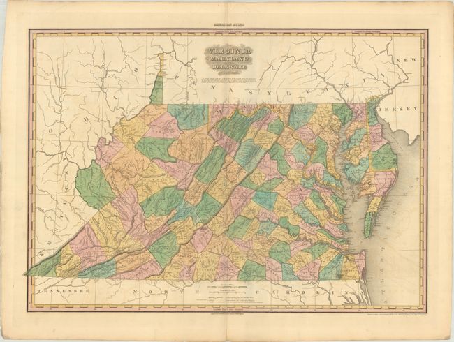
MapMaker: |
H.S. Tanner
|
|
| |
| |
Subject: |
Mid-Atlantic United States |
|
| |
Period/Size: |
1820 / 20.4" x 28.9" (51.9 x 73.4 cm)
|
|
| |
Color: |
Colored
|
|
| |
Condition: |
(B+) Contemporary color on a sturdy sheet with some light offsetting and a short centerfold separation confined to the bottom blank margin. A couple of short edge tears along the bottom sheet edge have been closed on verso with archival tape. (condition help) |
|
| |
Source: |
American Atlas |
|
| |
References: |
Phillips (Atlases) #4462-9; Ristow pp. 191-206. |
|
| |
|
|
| Sales Information |
| |
| |
Price: |
|
|
| |
| |
Offered by: |
Old World Auctions |
|
| |
Catalog: |
Auction No. 187 - Antique Maps, Charts, Atlases & Globes (9557) |
|
| |
Lot/Item #: |
185 |
|
| |
| |
Date: |
02/2022
|
|
| |
| |
|