| Item Detail |
| |
| |
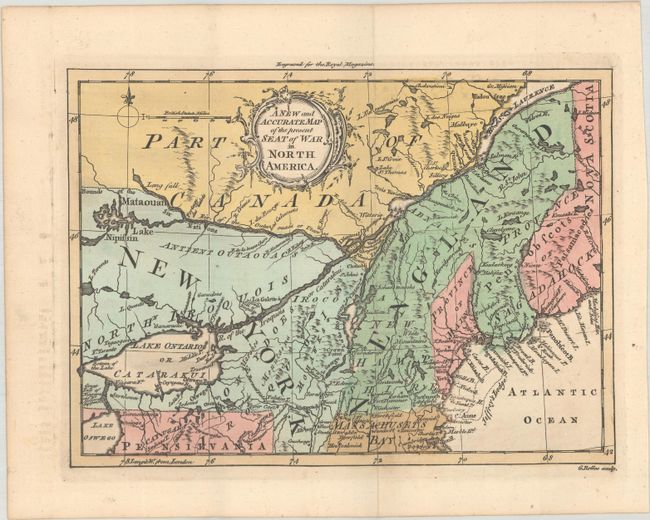
MapMaker: |
George Rollos
|
|
| |
| |
Subject: |
Colonial Northeastern United States & Canada |
|
| |
Period/Size: |
1759 / 6.4" x 8.8" (16.3 x 22.4 cm)
|
|
| |
Color: |
Colored
|
|
| |
Condition: |
(A) A fine impression issued folding on watermarked paper with a bit of offsetting in the blank margins. (condition help) |
|
| |
Source: |
Royal Magazine |
|
| |
References: |
Jolly #ROYMAG-5; McCorkle #759-4; Sellers & Van Ee #85. |
|
| |
|
|
| Sales Information |
| |
| |
Price: |
|
|
| |
| |
Offered by: |
Old World Auctions |
|
| |
Catalog: |
Auction No. 187 - Antique Maps, Charts, Atlases & Globes (9557) |
|
| |
Lot/Item #: |
127 |
|
| |
| |
Date: |
02/2022
|
|
| |
| |
|