| Item Detail |
| |
| |
MapMaker: |
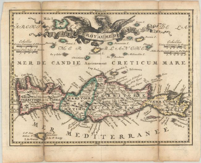
Hendrik de Leth
|
|
| |
| |
Subject: |
Crete |
|
| |
Period/Size: |
1740 / 6.4" x 8.6" (16.3 x 21.9 cm)
|
|
| |
Color: |
Colored
|
|
| |
Condition: |
(B+) A dark impression with contemporary outline color, issued folding with light toning along the folds and fold separations that have been archivally repaired on verso. (condition help) |
|
| |
Source: |
Nouvel Atlas Geographique & Historique... |
|
| |
References: |
Shirley (BL Atlases) T.LETH-1a; Zacharakis #1349. |
|
| |
|
|
| Sales Information |
| |
| |
Price: |
|
|
| |
| |
Offered by: |
Old World Auctions |
|
| |
Catalog: |
Auction No. 187 - Antique Maps, Charts, Atlases & Globes (9557) |
|
| |
Lot/Item #: |
555 |
|
| |
| |
Date: |
02/2022
|
|
| |
| |
|