| Item Detail |
| |
| |
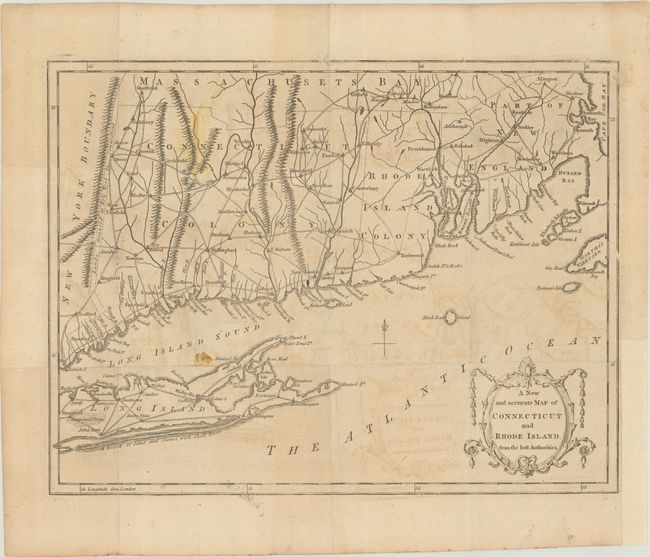
MapMaker: |
anonymous
|
|
| |
| |
Subject: |
Colonial New England United States |
|
| |
Period/Size: |
1780 / 10.3" x 13.4" (26.2 x 34.1 cm)
|
|
| |
Color: |
Black & White
|
|
| |
Condition: |
(B) Issued folding on watermarked paper with light offsetting and some minor staining at left. A binding trim at lower right has been replaced with heavy tissue. (condition help) |
|
| |
Source: |
Universal Magazine |
|
| |
References: |
Jolly #UNIV-189; Phillips (Maps) p. 247; Sellers & Van Ee #829. |
|
| |
|
|
| Sales Information |
| |
| |
Price: |
|
|
| |
| |
Offered by: |
Old World Auctions |
|
| |
Catalog: |
Auction No. 188 - Antique Maps, Charts, Atlases & Globes (9558) |
|
| |
Lot/Item #: |
149 |
|
| |
| |
Date: |
04/2022
|
|
| |
| |
|