| Item Detail |
| |
| |
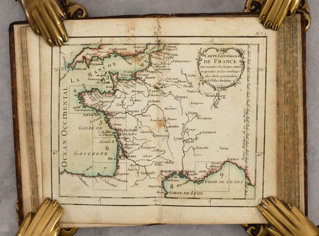
MapMaker: |
Bonne/Lattre
|
|
| |
| |
Subject: |
France, Atlases |
|
| |
Period/Size: |
1762 / 5.1" x 3.3" (13.0 x 8.4 cm)
|
|
| |
Color: |
Colored
|
|
| |
Condition: |
(B+) All of the maps have nice impressions and are generally clean and bright, with occasional light soiling or foxing. The 12 coastline charts are in contemporary color. The text also has minor occasional foxing or soiling. The covers are lightly worn (condition help) |
|
| |
Source: |
|
|
| |
References: |
Shirley (BL Atlases) M.BONN-1a. |
|
| |
|
|
| Sales Information |
| |
| |
Price: |
|
|
| |
| |
Offered by: |
Old World Auctions |
|
| |
Catalog: |
Auction No. 188 - Antique Maps, Charts, Atlases & Globes (9558) |
|
| |
Lot/Item #: |
436 |
|
| |
| |
Date: |
04/2022
|
|
| |
| |
|