Title:
“Atlas Portatif, Universel et Militaire, Compose d'Apres les Meilleures Cartes, tant Gravees que Manuscrites...”
Map Maker:
Robert de Vaugondy (family)
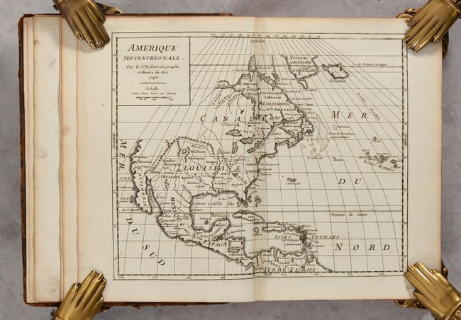
A beautiful atlas containing 120 (out of 129) maps... (full text available to subscribers)
| Item Detail |
| |
| |
MapMaker: |
Robert de Vaugondy (family)
|
|
| |
| |
Subject: |
Atlases |
|
| |
Period/Size: |
1748 / 7.5" x 5.6" (19.1 x 14.3 cm)
|
|
| |
Color: |
Black & White
|
|
| |
Condition: |
(A) The maps are generally clean and bright with nice impressions, with an occasional minor spot or paper flaw. The map of Europe has a 2" tear at top center, and a few maps have tiny centerfold separations at top or bottom. The covers are quite worn an (condition help) |
|
| |
Source: |
|
|
| |
References: |
Pedley, pp. 30-31, 220-225. |
|
| |
|
|
| Sales Information |
| |
| |
Price: |
|
|
| |
| |
Offered by: |
Old World Auctions |
|
| |
Catalog: |
Auction No. 188 - Antique Maps, Charts, Atlases & Globes (9558) |
|
| |
Lot/Item #: |
788 |
|
| |
| |
Date: |
04/2022
|
|
| |
| |
|
Antique Maps - Valuation and Pricing, Descriptions, Resources |
|
Home |
Information |
Search |
Register |
Contact Us |
Site Map
Americana Exchange, Inc. © 1999 - 2024 Americana Exchange, Inc.. All rights reserved.
OldMaps.com, the OldMaps.com logo and
AMPR are service marks or registered service marks of Americana Exchange, Inc..
|