| Item Detail |
| |
| |
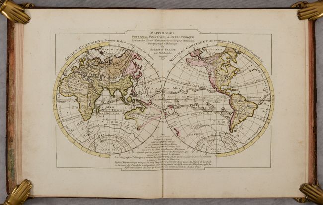
MapMaker: |
Philip Buache
|
|
| |
| |
Subject: |
Europe, Atlases |
|
| |
Period/Size: |
1762 / 10.3" x 8.3" (26.2 x 21.1 cm)
|
|
| |
Color: |
Colored
|
|
| |
Condition: |
(B+) The maps have contemporary color and are very good to near fine with an occasional spot of foxing and minor soiling in the margins. The front board is very loose and the covers have numerous scuffs and abrasions. (condition help) |
|
| |
Source: |
|
|
| |
References: |
cf. Shirley (BL Atlases) T.BUA-3a. |
|
| |
|
|
| Sales Information |
| |
| |
Price: |
|
|
| |
| |
Offered by: |
Old World Auctions |
|
| |
Catalog: |
Auction No. 188 - Antique Maps, Charts, Atlases & Globes (9558) |
|
| |
Lot/Item #: |
354 |
|
| |
| |
Date: |
04/2022
|
|
| |
| |
|