| Item Detail |
| |
| |
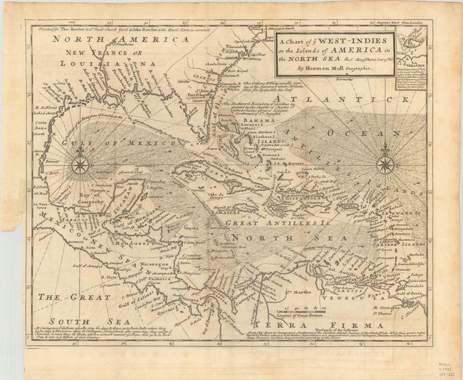
MapMaker: |
Herman Moll
|
|
| |
| |
Subject: |
Gulf of Mexico & Caribbean |
|
| |
Period/Size: |
1740 / 11.2" x 13.9" (28.5 x 35.3 cm)
|
|
| |
Color: |
Black & White
|
|
| |
Condition: |
(B+) Nice impression, issued folding on hand laid paper with a Pro Patria watermark with very light toning and minor offsetting. Binding trim at left with a short binding tear with small tape repair on verso with slight show-through. (condition help) |
|
| |
Source: |
|
|
| |
References: |
|
|
| |
|
|
| Sales Information |
| |
| |
Price: |
|
|
| |
| |
Offered by: |
Old World Auctions |
|
| |
Catalog: |
Auction No. 188 - Antique Maps, Charts, Atlases & Globes (9558) |
|
| |
Lot/Item #: |
270 |
|
| |
| |
Date: |
04/2022
|
|
| |
| |
|