| Item Detail |
| |
| |
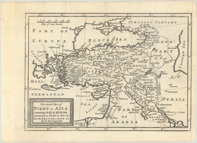
MapMaker: |
Herman Moll
|
|
| |
| |
Subject: |
Middle East & Cyprus |
|
| |
Period/Size: |
1712 / 7.1" x 10.1" (18.1 x 25.7 cm)
|
|
| |
Color: |
Black & White
|
|
| |
Condition: |
(A) A dark impression, issued folding with faint offsetting and a couple binding holes in the left blank margin, far from image. (condition help) |
|
| |
Source: |
Atlas Geographus |
|
| |
References: |
McCorkle (18th C. Geography Books) #9, Vol. III [3]. |
|
| |
|
|
| Sales Information |
| |
| |
Price: |
|
|
| |
| |
Offered by: |
Old World Auctions |
|
| |
Catalog: |
Auction No. 188 - Antique Maps, Charts, Atlases & Globes (9558) |
|
| |
Lot/Item #: |
592 |
|
| |
| |
Date: |
04/2022
|
|
| |
| |
|