| Item Detail |
| |
| |
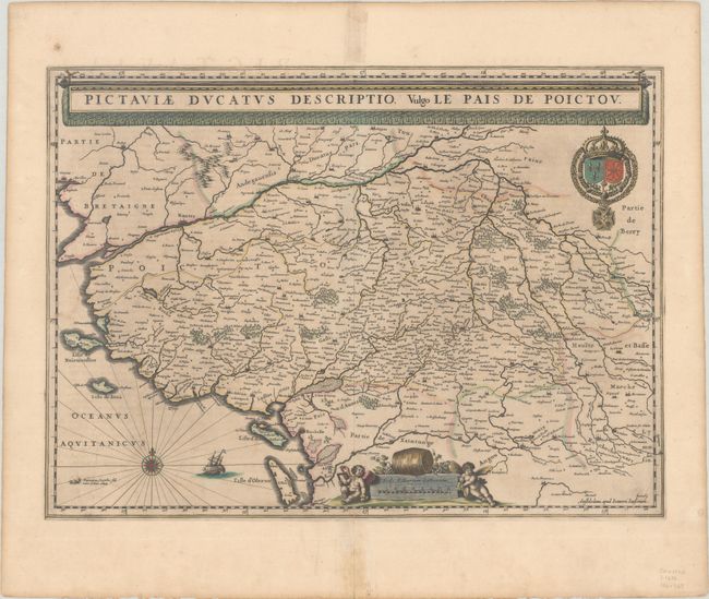
MapMaker: |
Jan Jansson
|
|
| |
| |
Subject: |
Western France |
|
| |
Period/Size: |
1646 / 14.9" x 20.4" (37.9 x 51.9 cm)
|
|
| |
Color: |
Colored
|
|
| |
Condition: |
(B+) Contemporary color with light toning and a repaired centerfold separation at bottom that enters less than 1" into the map image. A small manuscript notation in brown ink in the lower right corner attributes the map to Hondius. (condition help) |
|
| |
Source: |
Novus Atlas... |
|
| |
References: |
Van der Krogt (Vol. I) #4500:1C.2. |
|
| |
|
|
| Sales Information |
| |
| |
Price: |
|
|
| |
| |
Offered by: |
Old World Auctions |
|
| |
Catalog: |
Auction No. 188 - Antique Maps, Charts, Atlases & Globes (9558) |
|
| |
Lot/Item #: |
443 |
|
| |
| |
Date: |
04/2022
|
|
| |
| |
|