| Item Detail |
| |
| |
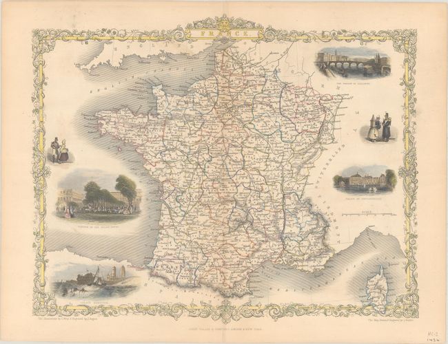
MapMaker: |
John Tallis
|
|
| |
| |
Subject: |
France |
|
| |
Period/Size: |
1850 / 10.1" x 12.4" (25.7 x 31.5 cm)
|
|
| |
Color: |
Colored
|
|
| |
Condition: |
(A) Attractive color with minor centerfold separations that are confined to the top and bottom blank margins and have been closed on verso with archival tape. (condition help) |
|
| |
Source: |
Illustrated Atlas and Modern History of the World |
|
| |
References: |
|
|
| |
|
|
| Sales Information |
| |
| |
Price: |
|
|
| |
| |
Offered by: |
Old World Auctions |
|
| |
Catalog: |
Auction No. 188 - Antique Maps, Charts, Atlases & Globes (9558) |
|
| |
Lot/Item #: |
437 |
|
| |
| |
Date: |
04/2022
|
|
| |
| |
|