Title:
“Twelfth Annual Report of the United States Geological and Geographical Survey of the Territories: A Report of Progress of the Exploration in Wyoming and Idaho for the Year 1878. In Two Parts. Part II”
Map Maker:
Ferdinand Vandeveer Hayden
This the second volume of the twelfth and final re... (full text available to subscribers)
| Item Detail |
| |
| |
MapMaker: |
Ferdinand Vandeveer Hayden
|
|
| |
| |
Subject: |
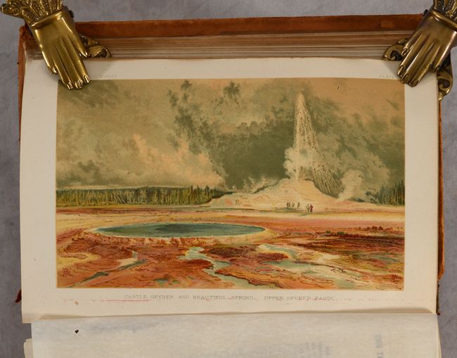
Yellowstone, Wyoming, Idaho & Utah |
|
| |
Period/Size: |
1883 / 9.4" x 5.9" (23.9 x 15.0 cm)
|
|
| |
Color: |
Colored
|
|
| |
Condition: |
(B+) Maps are very good to near fine with occasional binding tears and short fold separations. Text is mostly clean with one leaf loose and several tissue guards are stuck to the color plates. The hinges are starting and the covers are scuffed and worn. (condition help) |
|
| |
Source: |
|
|
| |
References: |
Wheat (TMW) #1296. |
|
| |
|
|
| Sales Information |
| |
| |
Price: |
|
|
| |
| |
Offered by: |
Old World Auctions |
|
| |
Catalog: |
Auction No. 188 - Antique Maps, Charts, Atlases & Globes (9558) |
|
| |
Lot/Item #: |
250 |
|
| |
| |
Date: |
04/2022
|
|
| |
| |
|
Antique Maps - Valuation and Pricing, Descriptions, Resources |
|
Home |
Information |
Search |
Register |
Contact Us |
Site Map
Americana Exchange, Inc. © 1999 - 2024 Americana Exchange, Inc.. All rights reserved.
OldMaps.com, the OldMaps.com logo and
AMPR are service marks or registered service marks of Americana Exchange, Inc..
|