| Item Detail |
| |
| |
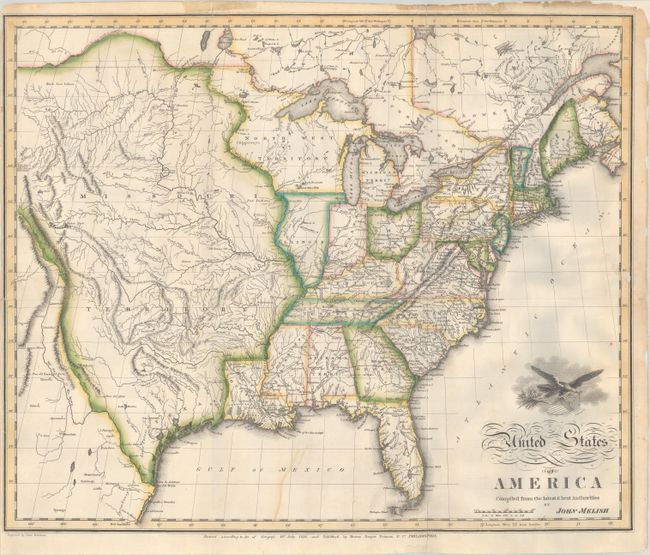
MapMaker: |
John Melish
|
|
| |
| |
Subject: |
Eastern United States |
|
| |
Period/Size: |
1818 / 16.1" x 19.6" (40.9 x 49.8 cm)
|
|
| |
Color: |
Colored
|
|
| |
Condition: |
(B) Issued folding with archival repairs to two 2" edge tears at left and several small fold separations. The left margin is narrow, and the top and right side margins have been reinforced on verso with archival materials. There are tape remnants in the (condition help) |
|
| |
Source: |
|
|
| |
References: |
Wheat (TMW) #327; Phillips (Maps) p. 880. |
|
| |
|
|
| Sales Information |
| |
| |
Price: |
|
|
| |
| |
Offered by: |
Old World Auctions |
|
| |
Catalog: |
Auction No. 188 - Antique Maps, Charts, Atlases & Globes (9558) |
|
| |
Lot/Item #: |
141 |
|
| |
| |
Date: |
04/2022
|
|
| |
| |
|