| Item Detail |
| |
| |
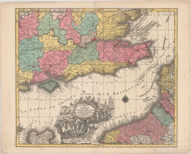
MapMaker: |
Tobias Conrad Lotter
|
|
| |
| |
Subject: |
English Channel |
|
| |
Period/Size: |
1760 / 19.4" x 22.6" (49.3 x 57.4 cm)
|
|
| |
Color: |
Colored
|
|
| |
Condition: |
(B+) Full contemporary color with light soiling, a horizontal printer's crease at right, and short centerfold separations at top and bottom that have been archivally repaired. There is light dampstaining in the top blank margin, and a chip and a few edge (condition help) |
|
| |
Source: |
|
|
| |
References: |
|
|
| |
|
|
| Sales Information |
| |
| |
Price: |
|
|
| |
| |
Offered by: |
Old World Auctions |
|
| |
Catalog: |
Auction No. 188 - Antique Maps, Charts, Atlases & Globes (9558) |
|
| |
Lot/Item #: |
396 |
|
| |
| |
Date: |
04/2022
|
|
| |
| |
|