| Item Detail |
| |
| |
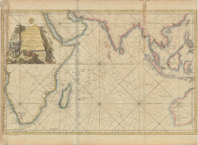
MapMaker: |
Jacques Nicolas Bellin
|
|
| |
| |
Subject: |
Indian Ocean |
|
| |
Period/Size: |
1767 / 21.4" x 33.3" (54.4 x 84.6 cm)
|
|
| |
Color: |
Colored
|
|
| |
Condition: |
(B) Issued folding on a sturdy sheet with light toning, offsetting and soiling. There are dampstains along the left edge of the sheet and along the right-hand fold at top, resulting in a couple of short edge tears. Narrow side margins. (condition help) |
|
| |
Source: |
|
|
| |
References: |
Norwich #280. |
|
| |
|
|
| Sales Information |
| |
| |
Price: |
|
|
| |
| |
Offered by: |
Old World Auctions |
|
| |
Catalog: |
Auction No. 188 - Antique Maps, Charts, Atlases & Globes (9558) |
|
| |
Lot/Item #: |
689 |
|
| |
| |
Date: |
04/2022
|
|
| |
| |
|