| Item Detail |
| |
| |
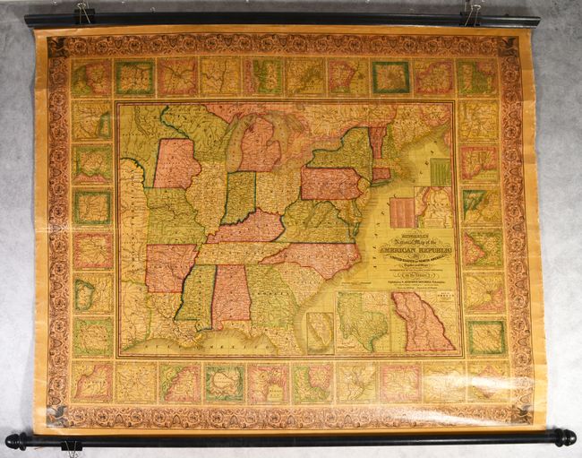
MapMaker: |
Samuel Augustus Mitchell
|
|
| |
| |
Subject: |
Eastern United States |
|
| |
Period/Size: |
1846 / 38.3" x 47.0" (97.3 x 119.4 cm)
|
|
| |
Color: |
Colored
|
|
| |
Condition: |
(B+) The map is overall very good with the varnish only mildly darkened (a common occurrence with wall maps). There is light staining, minor surface abrasions in the image, some tiny edge chips and tears along the sides of the sheet, and a crack confined (condition help) |
|
| |
Source: |
|
|
| |
References: |
|
|
| |
|
|
| Sales Information |
| |
| |
Price: |
|
|
| |
| |
Offered by: |
Old World Auctions |
|
| |
Catalog: |
Auction No. 189 - Antique Maps, Charts, Atlases & Globes (9559) |
|
| |
Lot/Item #: |
148 |
|
| |
| |
Date: |
09/2022
|
|
| |
| |
|