| Item Detail |
| |
| |
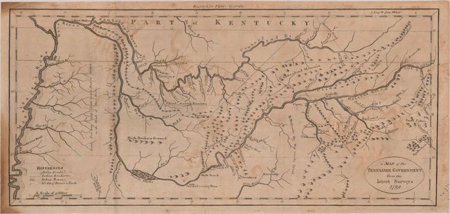
MapMaker: |
John Payne
|
|
| |
| |
Subject: |
Tennessee |
|
| |
Period/Size: |
1799 / 7.1" x 15.3" (18.1 x 38.9 cm)
|
|
| |
Color: |
Black & White
|
|
| |
Condition: |
(B) Issued folding with light offsetting. There is some staining along the left sheet edge and archival repairs to two small tears in the top blank margin. (condition help) |
|
| |
Source: |
John Payne's New and Complete Universal Geography |
|
| |
References: |
Wheat & Brun #657. |
|
| |
|
|
| Sales Information |
| |
| |
Price: |
|
|
| |
| |
Offered by: |
Old World Auctions |
|
| |
Catalog: |
Auction No. 189 - Antique Maps, Charts, Atlases & Globes (9559) |
|
| |
Lot/Item #: |
260 |
|
| |
| |
Date: |
09/2022
|
|
| |
| |
|