| Item Detail |
| |
| |
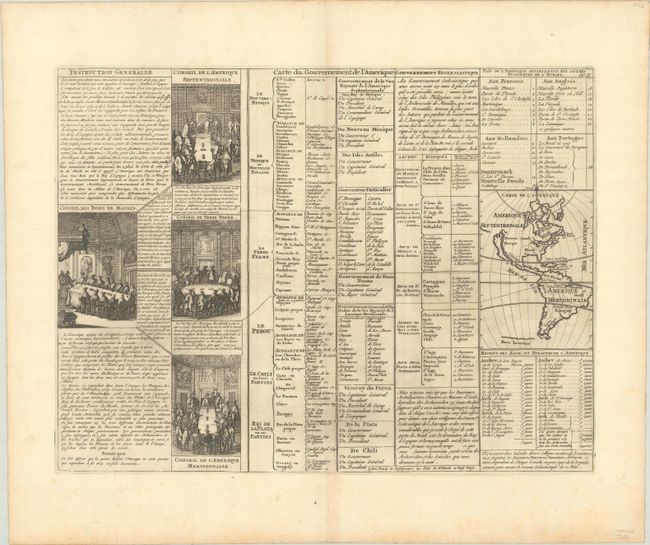
MapMaker: |
Henry Abraham Chatelain
|
|
| |
| |
Subject: |
Western Hemisphere - America |
|
| |
Period/Size: |
1720 / 13.1" x 17.4" (33.3 x 44.2 cm)
|
|
| |
Color: |
Black & White
|
|
| |
Condition: |
(A) A nice impression on paper with a Strasburg bend and lily watermark. There is faint offsetting, a vertical printer's crease to the left of the centerfold, and minor foxing that is almost entirely confined to the margins. (condition help) |
|
| |
Source: |
Atlas Historique |
|
| |
References: |
|
|
| |
|
|
| Sales Information |
| |
| |
Price: |
|
|
| |
| |
Offered by: |
Old World Auctions |
|
| |
Catalog: |
Auction No. 189 - Antique Maps, Charts, Atlases & Globes (9559) |
|
| |
Lot/Item #: |
66 |
|
| |
| |
Date: |
09/2022
|
|
| |
| |
|